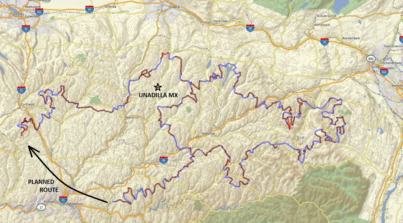
New York Southern Tier Exploration Route (NYSTER)
Dual Sport / ADV motorcycle route through Upstate New York.
611 miles total (so far)
BLUE = PAVEMENT BROWN = DIRT RED = DIFFICULT DIRT
CHECK HERE FOR LATEST ROUTE CONDITIONS / ROAD CLOSURES / DETOURS
Route Description
The NYSTER isn't quite as "adventure" oriented as the ADK ADV LOOP, but does offer a great way to explore the backroads and State Forests through the farmland of Upstate NY.
This route has been in development since 2019 and eventually it will go through the Binghamton area and connect up with itself south of Ithaca / Cortland, but this is the route in it's current state with a shorter connector leg up around Oneonta.
A few useful links:
DEC Forest Info - Overview of NY State Forests
DEC Info Locator - An interactive map for NY State Land
Technical Difficulty
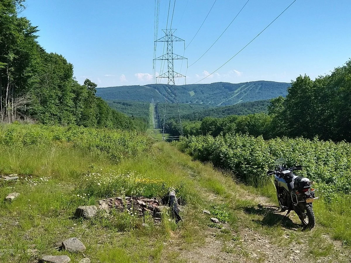
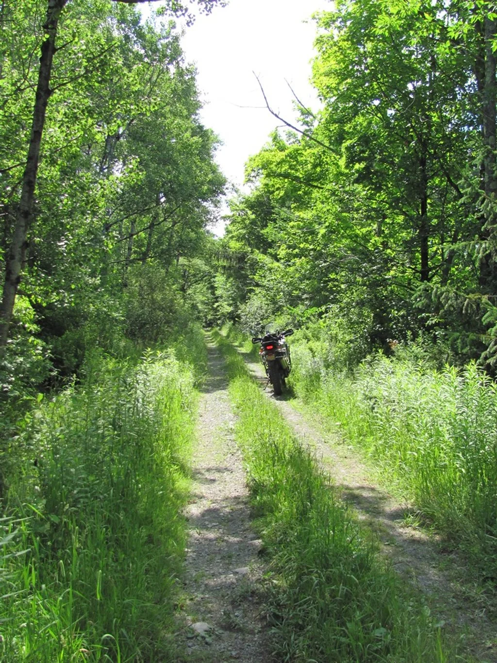
The route is a good mix of pavement, dirt roads, forest service roads, and truck trails. All of it is doable on a large bike with 50/50 tires but there are a few sections that can be pretty rough in the spring when there is a lot of mud.
Riding Regulations
The entire route is on public roads that are legal for motorized vehicles. The state forests don’t typically allow off-trail riding with motorized vehicles but there are a few locations where the rules are a bit unclear. One of these is in Tuller Hill SF across the valley from Greek Peak Resort in Virgil. There are a few trails that go along the power line which people have been clearly riding ATV’s on but that technically isn’t allowed per NY State Land Use Regulations (https://dec.ny.gov/nature/forests-trees/state-forests/rules-for-use).


There are many places along the route where it is easy to make a wrong turn and end up on private land so just be aware of your location.
Camping
In New York State you can camp anywhere on state land given that you are at least 150' from any road, trail, or stream, and not in an area designated by "no camping" signs. There are also several state campgrounds and motels available along the route. For more information check out: https://www.dec.ny.gov/outdoor/camping.html
Season
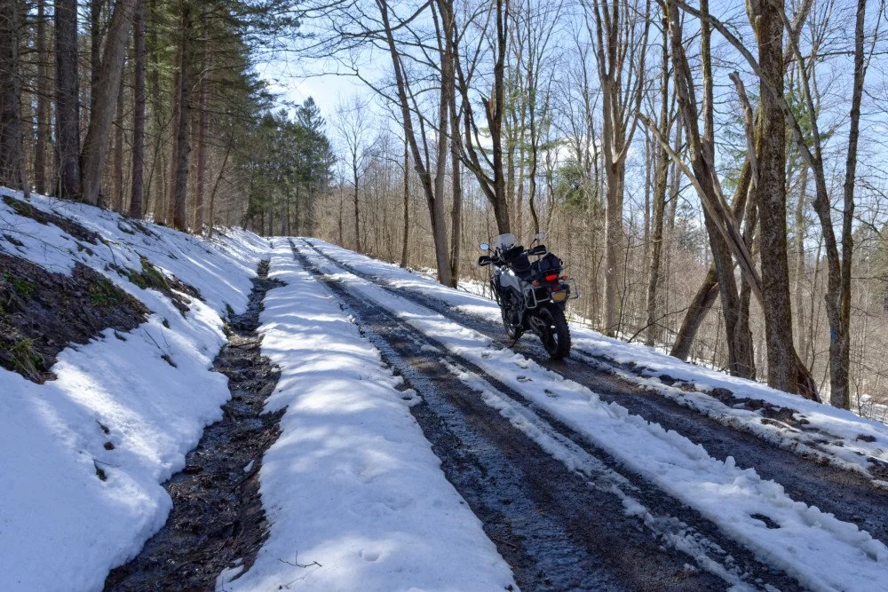
Many of the seasonal roads aren't maintained through the winter and often have snow on them through the end of May. Expect mud in early spring.
GPX files
email for GPX files: info@terraroutes.com
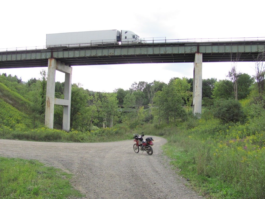
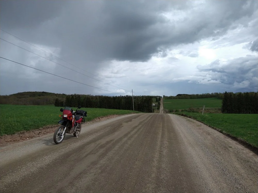
Route Photos
Below are a bunch of photos at various locations along the route in no particular order.


One nice side excursion is the ride up to the summit (3,209’) of Mt. Utsayantha in Stamford, NY. Once up there you can climb the fire tower and get a great view into the Catskills.


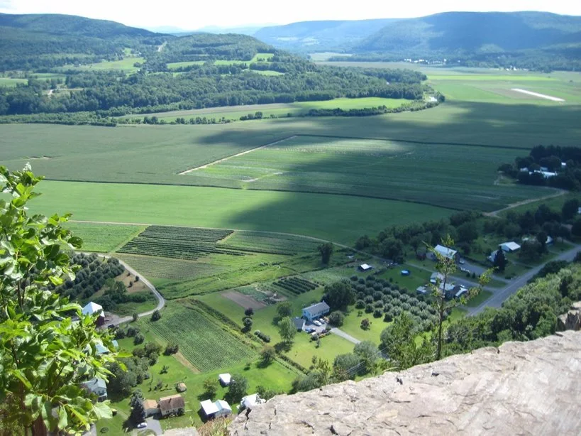
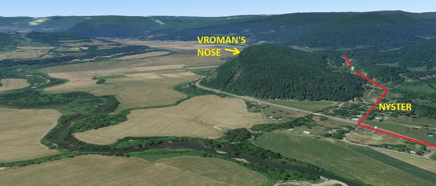
Another great point of interest is Vroman’s Nose, a small peak that overlooks the southern part of the Schoharie Valley with the Schoharie Creek meandering through it.


The NYSTER actually goes right by the trailhead for this on the northern/backside of the peak so it's easy to miss if you don't know that it's there, and the views are worth the 20 minute hike to the top.

The whole Schoharie Valley actually flooded back in 2011 from Hurricane Irene so it looked very different for a while (see photo below).